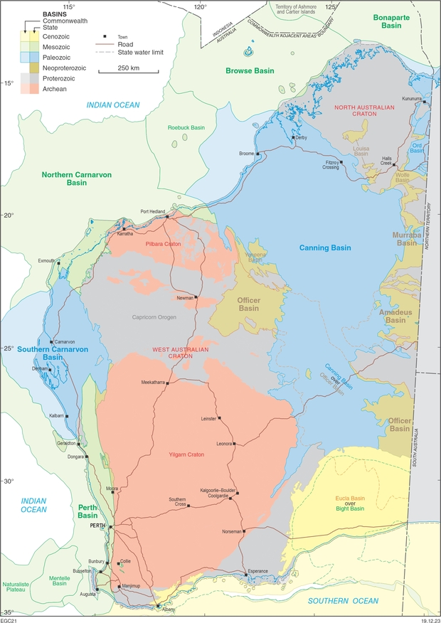
Western Australia’s onshore Neoproterozoic and Phanerozoic basins cover just over 40% of the State’s 2 500 000 square kilometre onshore extent. The energy potential of these basins includes petroleum, geothermal energy, natural hydrogen, helium, carbon dioxide sequestration and temporary underground storage of hydrocarbon gas and manufactured hydrogen.
Energy prospectivity in Western Australia
Five basins within Western Australia’s jurisdiction, which extends into adjacent coastal waters, contain petroleum fields: the Northern Carnarvon, Browse, Bonaparte, Perth, and Canning Basins (in order of decreasing production plus reserves; see www.energy.gov.au/government-priorities/energy-data/australian-petroleum-statistics). Offshore fields along the North West Shelf dominate production in the region and are mostly in Commonwealth Waters, although a small portion of the Browse Basin near Scott Reef is administered by the State. Nevertheless, there have been significant new onshore commercial discoveries in the Perth and Canning Basins.
The most prospective plays for conventional oil and gas exploration onshore and within coastal waters are in the:
- Mesozoic of the offshore Northern Carnarvon and Browse Basins
- Permian–Jurassic of the northern Perth Basin
- Carboniferous, Permian and Jurassic of the Bonaparte Basin
- Ordovician-Permian of the western Canning Basin.
Whereas the offshore basins have had high levels of petroleum and gas exploration and production, there have been considerably fewer investigations of geothermal energy, with onshore exploration markedly less than offshore. Nearly all basins, both onshore and offshore, have significant potential for storage or geosequestration, but geothermal energy is generally considered viable only onshore.
Only minor hydrocarbon accumulations are known from remote parts of onshore Neoproterozoic and Paleozoic basins. These basins include the Neoproterozoic – lower Cambrian Amadeus, Murraba and Officer Basins (which are part of the Centralian Superbasin) and the chiefly Paleozoic Southern Carnarvon Basin. The hydrocarbon potential of other Neoproterozoic basins and the Cambrian Ord Basin is low due to excessive burial, the lack of deformation, the uncertain presence of organic material, and the relatively thin sections preserved in the Louisa and Wolfe Basins. Similarly, the onshore portions of the Mesozoic Bight Basin and Cenozoic Eucla Basin have low prospectivity as their thin sedimentary successions had minimal burial and deformation.
The shale gas and shale oil potential in the northern Perth Basin and the Canning Basin has been evaluated using dedicated wells and pilot testing of hydraulic fracture stimulation. However, as of September 2017, there is a ban on hydraulic fracturing in the South West, Peel and Perth Metropolitan areas. That ban has been extended to include the Dampier Peninsula, national parks, towns, and areas within 2 km of gazetted public drinking water source areas. Following the 2017–18 State inquiry into the safety of hydraulic fracturing in Western Australia, this procedure is allowable only within permits that pre-date 26 November 2018.
Some Western Australian basins are also prospective for He and natural H2, although exploration specifically targeting these commodities has yet to begin in the State. Historically, analyses for these gases were rarely undertaken, but some gas samples from the northwest Canning Basin have elevated levels of He and H2, and H2 in the Perth Basin.
About the energy prospectivity summaries
A summary of the energy prospectivity of each of the major prospective basins can be accessed via the links above. The compilations of fields and significant shows provided for each basin includes many that are classified as shut-in, suspended or undeveloped while they await further assessment as to their commerciality.
Discoveries classified in this way may be subeconomic — for older such wells the likelihood of development diminishes as newer discoveries are made. In addition, once-productive fields that are now shut-in may effectively be depleted. Well counts for each basin exclude sidetracks, deepenings and redrills. Estimates of seismic coverage exclude lines for which there are no navigation reports available. In general, seismic data pre-dating the mid-1960s are too poor to interpret.
Download an Excel file of Western Australian shows and fields:
Publications
-
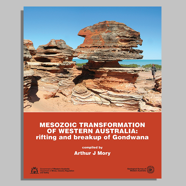 Mesozoic transformation of Western Australia: rifting and breakup of Gondwana
This book aims to provide an introduction to the State’s Mesozoic geology and mineral potential.
Mesozoic transformation of Western Australia: rifting and breakup of Gondwana
This book aims to provide an introduction to the State’s Mesozoic geology and mineral potential.
-
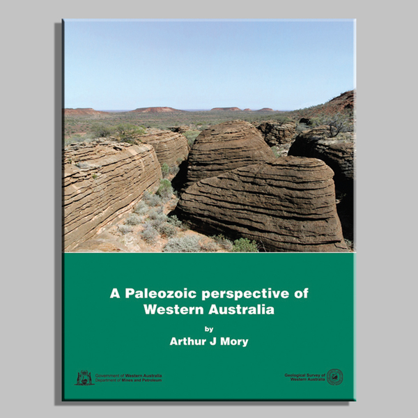 A Paleozoic perspective of Western Australia
Paleozoic (from Cambrian to Permian) rocks are preserved across 30% of Western Australia.
A Paleozoic perspective of Western Australia
Paleozoic (from Cambrian to Permian) rocks are preserved across 30% of Western Australia.
-
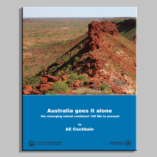 Australia goes it alone
This book covers the geology of Western Australia for the period from 100 million years to the present.
Australia goes it alone
This book covers the geology of Western Australia for the period from 100 million years to the present.
Contact
For further information, contact: