A base map is a geographic layer that displays background information.
Currently TENGRAPH Web has 7 base maps that can be turned on.
Click on one check box from the Map Layer List to make a base map visible.
|
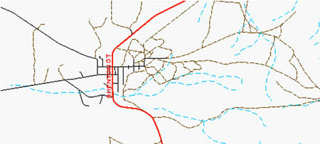
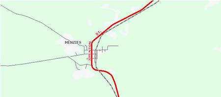
1. TENGRAPH's default topography base map (Displays coastline, watercourses and WA's road network)
|
 |
|
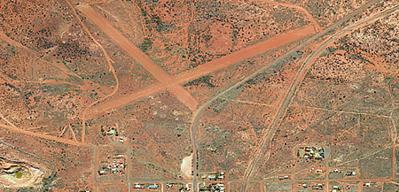
2. Landgate Aerial Imagery
|
 |
|
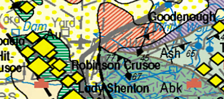
3. 1:250,000 Geology Raster Map
|
 |
|
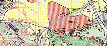
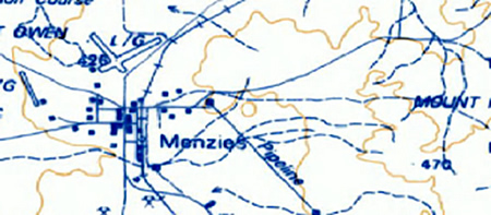
4. 1:100,000 Geology Raster Map
|
 |
|
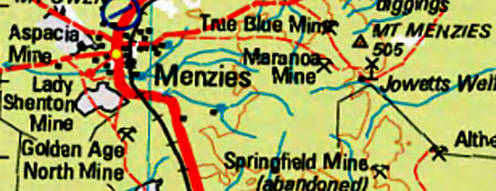
5. 1:100,000 Topography Map
|
 |
|
6. 1:250,000 Topography Map
|
 |
|
7. DMP Base map (Default base map displayed in GeoVIEW.WA) |
 |