GSWA partners with Geoscience Australia to commission a further three airborne gravity surveys of the State
| Date: | Tuesday, 15 August 2017 |
|---|
Following the success of the first airborne gravity survey commissioned by the Department of Mines, Industry Regulation and Safety’s (DMIRS) in October 2016 in the East Kimberley, another three aero gravity surveys have been commissioned for the 2017 flying season.
The collaborative work is being undertaken by the Geological Survey of Western Australia (GSWA), a division of DMIRS, and its partner Geoscience Australia (GA), a division of the Commonwealth Department of Industry, Innovation and Science.
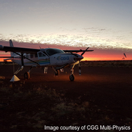
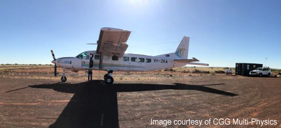
The Kidson project, which began in July, comprises the acquisition and processing of approximately 70,000 line km of airborne gravity and gravity gradiometer data at a line spacing of 2.5km to cover 155,000 sq km. This is almost twice the size of the 2016 East Kimberley survey, covering the Kidson sub-basin in the central Canning, and crossing the Gibson and Great Sandy Deserts.
The NE Canning – Tanami project began in June and has been divided into two separate surveys. It covers approximately 110,000sq km in the southern Kimberley, contiguous with the East Kimberley survey area, and extends from the Billiluna region near the border with the Northern Territory to Derby in the west.
Department of Mines, Industry Regulation and Safety’s (DMIRS) Geological Survey of Western Australia (GSWA) Assistant Director Geoscience Mapping Dr Ian Tyler said the department expects the three surveys to be finished by November and the data to be ready for release in the first quarter of 2018.
“GSWA has been acquiring data from airborne surveys since the mid-1980s and we’ve been doing airborne geophysical studies in our own right since 1993, so this is a long running standard approach to mapping. Airborne gravity is more expensive than ground work by a factor of 50 per cent but it’s quicker and avoids the need for ground access in logistically difficult remote areas that may require heritage clearance” said Dr Tyler.
“The Kidson area is the current focus of interest because it potentially hosts large volumes of oil or shale gas. The NE Canning-Tanami area is also a target for sediment-hosted lead–zinc deposits and copper and gold deposits in the Tanami.
“By systematically mapping the whole of the State in this way and characterising the regional geology, GSWA and GA hope to provide public data which will de-risk the area for future petroleum exploration and help companies assess whether or not they want to come to Western Australia.”
The Kidson project will utilise the Full Spectrum Falcon technology and the NE Canning-Tanami will be surveyed using the GT-2A gravimeter system. The data sets from the three surveys will be merged into the Western Australian state gravity compilation dataset and will be made publicly available on the department’s website, as well as through the national database hosted by Geoscience Australia.
For more information and project updates, please visit the DMIRS website.