Base Maps
A base map is a geographic layer providing background information and spatial reference for other layers displayed on the map.
TENGRAPH Web has 7 base maps including aerial, topographic and geology imagery.
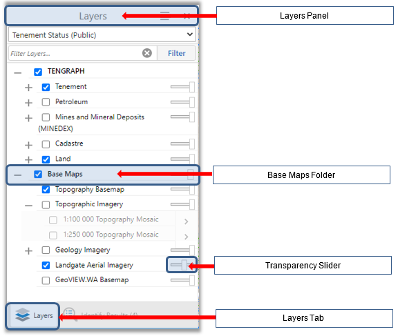
To begin make sure the Layers panel is active by clicking on the Layers Tab.
The Base maps folder is located near the bottom of the Layers panel. Click on one check box from the Map Layers List to make the corresponding base map visible.
Adjust the map display by moving the transparency slider left, allowing other layers turned on to be seen.
The table below demonstrates and describes in more detail the base maps available.
|
Base Map Name / Description |
Map Display Example |
|
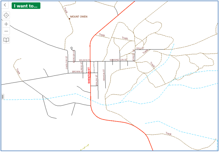
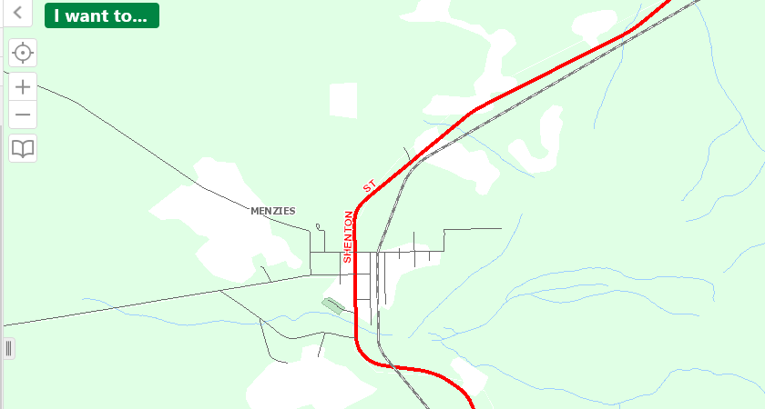
The default TENGRAPH Base map provides a spatial reference with other map layers.
It displays the West Australian coastline, watercourses, lakes, mountains, regional pastoral lease fences and road network.
|
|
|
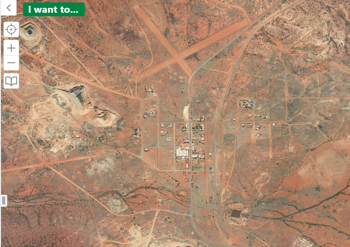
The aerial imagery is displayed as a single seamless aerial imagery service (WA Now), provided free of charge by Landgate's Shared Location Information Platform (SLIP).
|
|
|
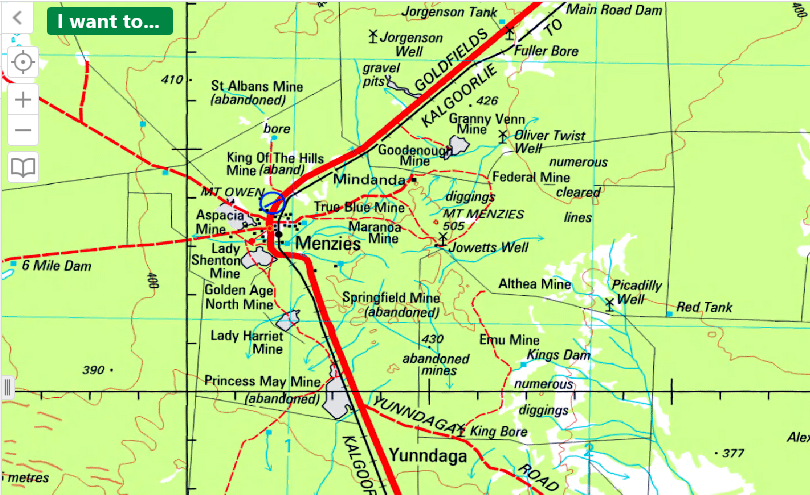
1:100 000 Topography Mosaic
Displays topography derived from published 1:100 000 topographic maps.
|
|
|
1:250 000 Scale Topography Mosaic Map
It displays hydrography, infrastructure, utilities, elevation, vegetation, framework, habitation, terrain and transport features.
|
|
|
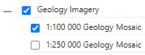
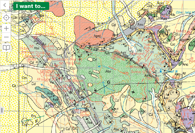
The 1:100 000 Geology Mosaic is derived from 1:100 000 scale Geological Series maps produced for Western Australia by GSWA and Geoscience Australia.
|
|
|
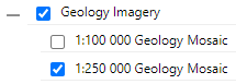
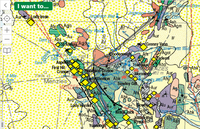
The 1:250 000 Geology Mosaic is derived from 1:250 000 scale Geological Series maps produced for Western Australia by GSWA and Geoscience Australia.
|
|
|
Displays the same background base map shown in GeoVIEW.WA.
|
|