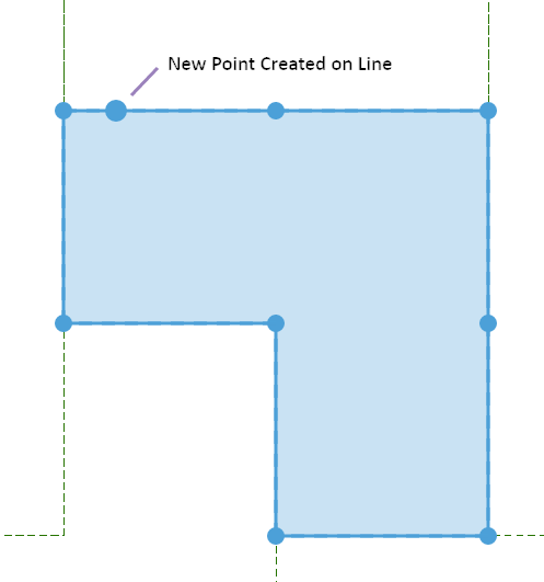
This tool allows you to accurately create a point along the boundary of a mining tenement or line drawn on the map.
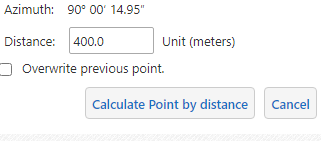
In this example we want to create a point on the boundary of an exploration licence 400m from the corner.
|
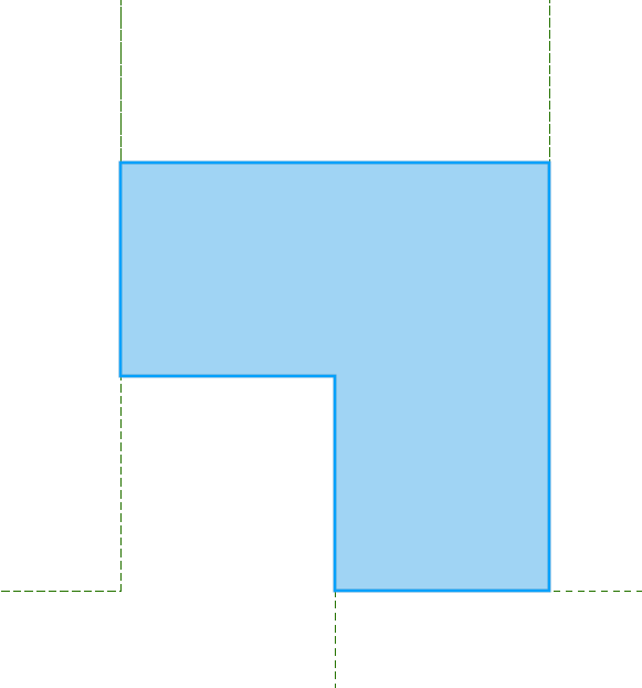
Before you begin you will need to copy the exploration licence to the drawing layer ... |
|
|
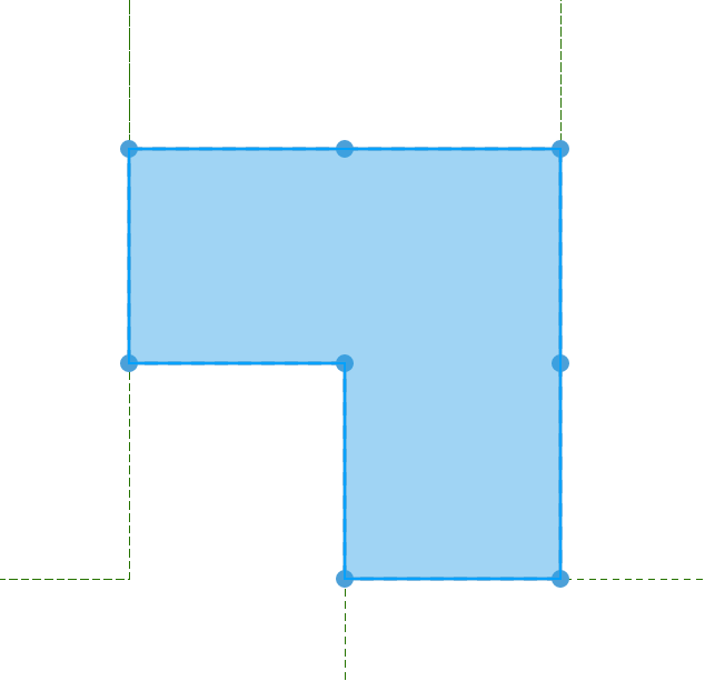
...and then explode the drawing into lines and points. |
|
|
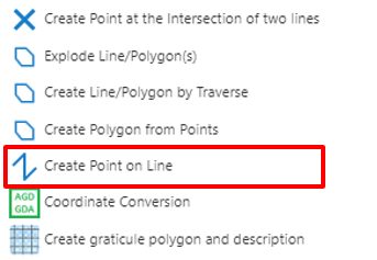
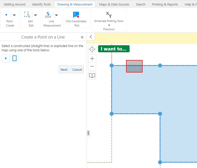
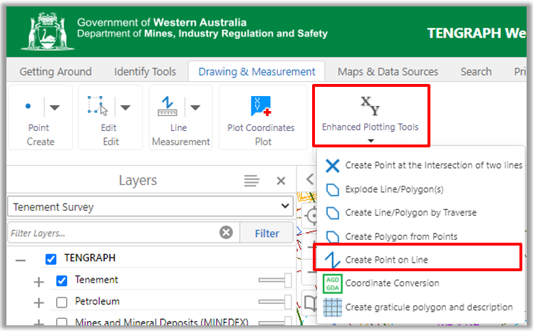
Open the Enhanced Plotting Tools menu and select Create Point on Line. |
|
|
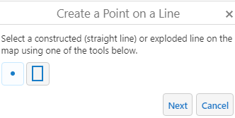
Using your mouse select the line you want the point plotted on.
|
|
|
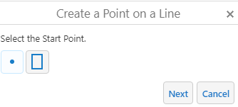
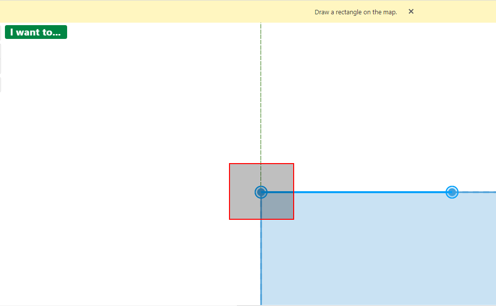
The selected line is highlighted on the map display. Then select a corner as the starting point.
|
|
|
Enter the disired distance and Select Calculate Point by Distance.
The plotted point's coordinate value is displayed in the panel. Close the tool by Clicking on Cancel. |
|