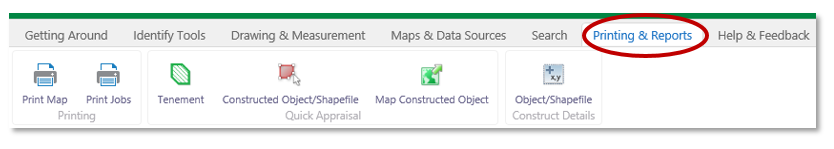
The Printing & Report tab contains tools for printing maps, quick appraisal reports and a constructed object's spatial details.
|
Use this tool... |
To... |
|
|
|
Print Map |
Print A4/3 or A1 PDF maps to scale. Print a Map Legend |
|
|
Print Job |
Shows the status of your print jobs. |
|
|
Print polygon details |
Print the spatial coordinates of your own constructed polygon or drawing.(Print object details)
|
|
|
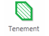
Tenement Quick Appraisal Report |
The quick appraisal PDF report lists land and services overlaying a mining tenement. |
|
|
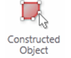
Constructed Polygon Quick Appraisal Report |
The quick appraisal PDF report lists land and services overlaying a constructed polygon. |
|
|
Constructed Polygon Quick Appraisal Interactive Map. |
Open the quick appraisal interactive map allowing users to highlight land intersections on Google maps.
|


Printing a Map
You can print projected maps with coordinates from TENGRAPH.
To start click on the Print Map icon from either the Printing & Reports tab or, the I WANT TO... menu.
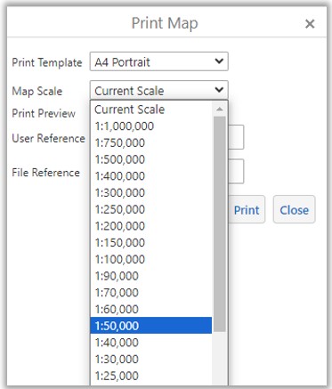
The Print Map window allows you to choose the page size and scale.
Selecting Print Preview draws a template representing the map boundary on your devices display.
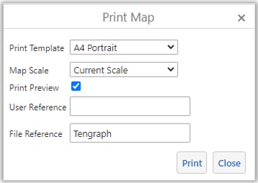
Changing the print scale or panning the map will adjust the templates position on your display.
NOTE: The GDA PDF map draws boundaries accurately at your chosen scale.
Long boundaries maybe portrayed in another position on your device as they don't compensate for the Earth's curvature.
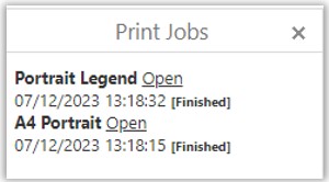
Select Print Jobs to check on the progress of your map.
When the print has finished select Open. This will allow you to view, print or download your A4/3 PDF map.
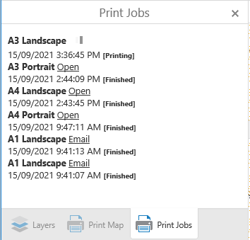
A1 PDF maps are larger and take longer to create. An email is sent to your registered email address when it is ready. It will include a link allowing you to download the A1 PDF map to your device.
Print Legend
There is an option to Print an A4 Legend of your map on a separate page.
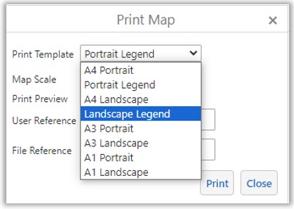
- Select either Portrait or Landscape Legend from the list and the scale of your printed map.
- Open when it has completed.
- The legend is scale dependant, in other words it will only show the symbols displayed at the map scale selected from the list.
Tip: Simplify the legend by turning off irrelevant map layers before requesting the map print.
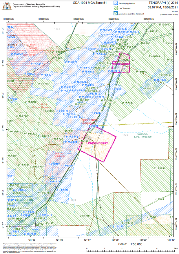
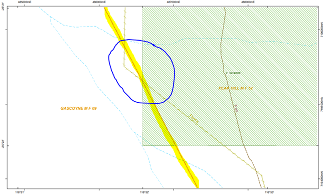
TENGRAPH 1:50,000 map with the Tenement and Cadastre layers turned on.
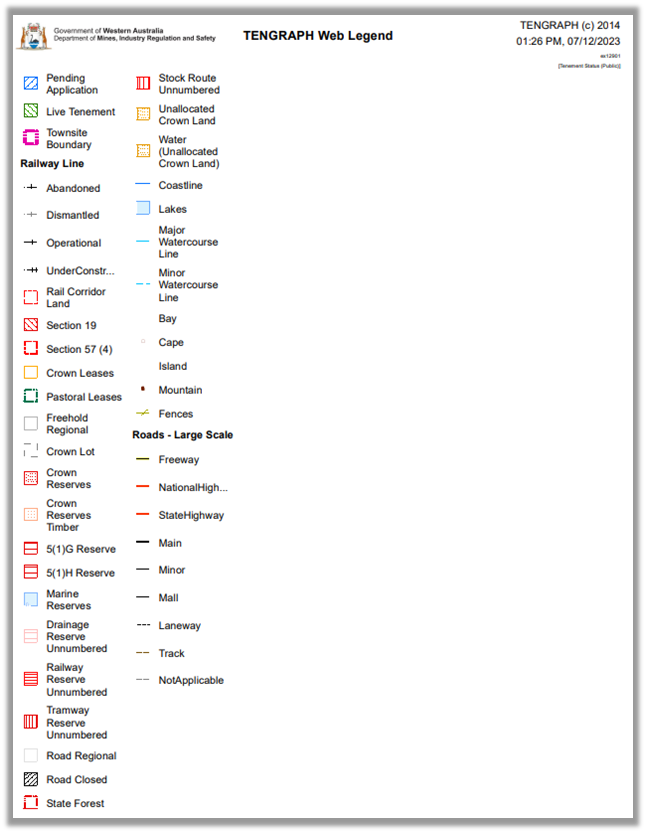
Example of a TENGRAPH Map Legend with the Cadastre turned on.
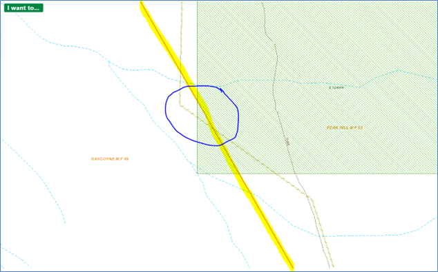
Boundary lines drawn on the TENGRAPH GDA94 PDF Map are more accurate than the lines displayed on your computer screen or device. The printed PDF map is a projected map allowing for the curvature of the Earth, your device shows lines as if they are straight. The longer the line the more inaccurate they will appear on your device.
Example:
Screen Display - Note the position of the Mineral Field Boundary
PDF Map Print - Draws the Mineral Field in its true position.