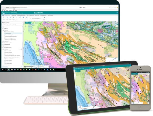
GeoVIEW.WA is an interactive (GIS-based) mapping system. You can construct your own geological map and incorporate other mineral and petroleum exploration datasets including mines and mineral deposits, petroleum wells, active leases, and much more. A new version of GeoVIEW.WA was released on 5 September 2019. The biggest improvement in this release is that access to GeoVIEW.WA is no longer dependent on the Microsoft Silverlight browser plugin. GeoVIEW.WA will now run in all web browsers and on tablet and smart phone devices.
Please refer to the ‘Whats New?’ button in GeoVIEW.WA to find a summary of the latest changes.
Interactive geological map (GeoVIEW.WA)
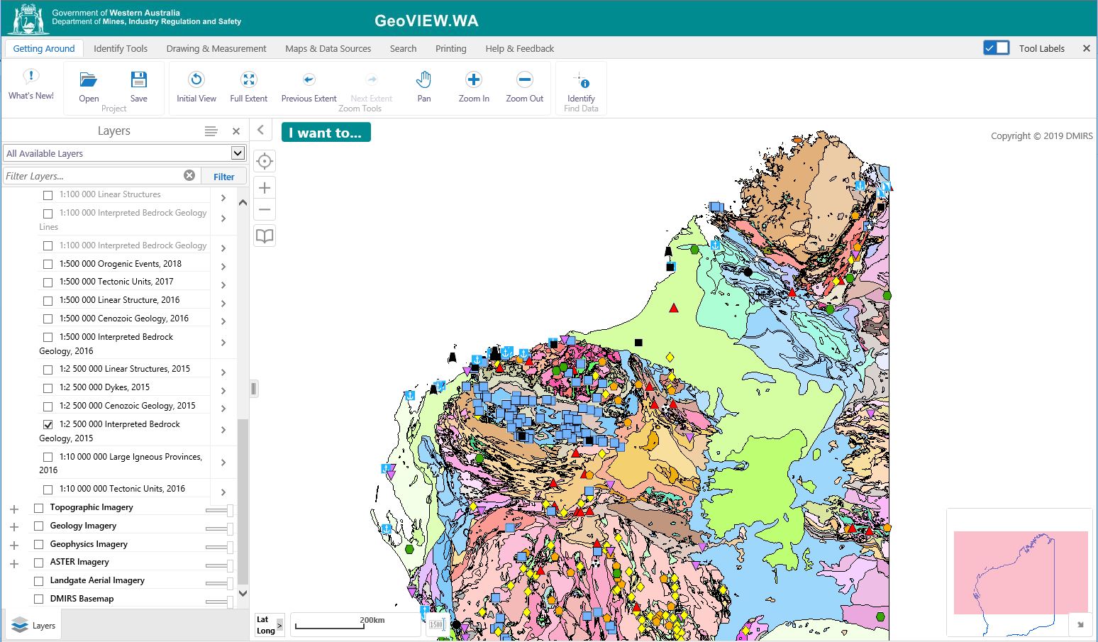
GeoVIEW.WA is an online GIS-based mapping tool that allows users to view, query, and map various geology, resources and related datasets. These integrated statewide data are regularly updated. Users can construct and print a customized geological map (by chosen area and scale) and incorporate other mineral and petroleum exploration datasets including mines and mineral deposits, petroleum wells, and active leases.
Once GeoVIEW.WA is open, click the ‘What's New?’ button to find out what the latest releases of data/layers and additions to GeoVIEW.WA are.
Advanced search functionality
The ‘Search Tools’ tab in GeoVIEW.WA allows advanced searches for a variety of datasets, as listed below.
- GSWA Catalogue – Search the catalogue of all GSWA products associated with a geographic region in Western Australia, and view these products online
- WAMEX Search – Perform both spatial and textual searches of open file (public) mineral exploration reports submitted for Western Australia
- Drillholes Search – Search the mineral exploration drillhole dataset compiled from the open file (public) mineral exploration reports for Western Australia
- Geochemistry – Search both GSWA geochemistry and company submitted geochemistry sites
- GSWA Geochronology – Perform searches of geochronology sites that fall within a map sheet region
- Extract data – Extract selected layers from a region of the map to ESRI shapefile or file geodatabase format
Users of GeoVIEW.WA can customize their selected view with annotations and print the resulting map. A User Guide and a Toolbar Quick Reference are available to assist users in navigating GeoVIEW.WA.
What’s new?
This system can be opened using a variety of browsers on multiple devices. Information includes:
- Recently updated 1:100 000 State interpreted bedrock geology
- Mines and mineral deposits, major resources, petroleum datasets and tenements
- Location of key infrastructure such as towns and roads
- Various statewide image datasets including geophysics, geology and topography
How to access
Users of GeoVIEW.WA can customize their selected view with annotations and print the resulting map. A User Guide and a Toolbar Quick Reference are available to assist users in navigating GeoVIEW.WA.
Contact
For technical support and further information, contact:
geoview@dmirs.wa.gov.au