Data acquisition is due to be completed before the end of April from a high resolution seismic survey in the Eastern Goldfields.
| Date: | Friday, 22 March 2019 |
|---|
The Geological Survey of Western Australia (GSWA) at the Department of Mines, Industry Regulation and Safety (DMIRS) has begun a high-resolution seismic survey in the Eastern Goldfields.
Data acquisition is due to be completed before the end of April. When the final products are released later this year, the survey will provide pre-competitive, sub-surface data to mining and exploration companies to complement earlier GSWA magnetic and gravity surveys.
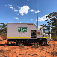
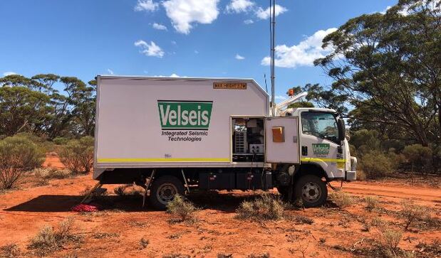
DMIRS has contracted Velseis Integrated Seismic Technologies, a company that specialises in the acquisition of onshore seismic data, to undertake the survey.
Acting Director Geoscience Michael Wingate said data is being collected along seven lines from Broad Arrow in the north, to Kambalda in the south, covering a total distance of 300 km.
“The survey will deepen the geological understanding of the region and this data will be available free of charge as soon as possible after the survey is completed,” he said.
“The survey will image the Earth’s crust at a depth from around 300m to 5000m.
“Combined with geological information from other sources, it will enable companies to identify areas that may be suitable for 3D seismic surveys for mineral exploration and targeting.”
During the testing, the field crew lay out the cables and geophones along the line every few metres. Once the cables and geophones are in place, the Vibroseis trucks drive slowly along the line and generate a seismic signal.
The process is controlled from a recording truck, where the signals from the geophones are recorded for analysis and processing to produce an image of the subsurface geology.
The Geological Survey produces state-of-the-art databases, books and maps for the benefit of the Western Australian community including prospectors, explorers, miners, investors and geoscientists.
This information provides the building blocks for the design of exploration programs that attract investment to WA. It is also critical to government when determining policy, and in decision making, particularly in relation to economic and land-use issues.