Case Study – Airborne geophysics of the Kimberley
The Kimberley Gravity Project is collecting valuable geophysical data about the structure and evolution of Earth’s crust.
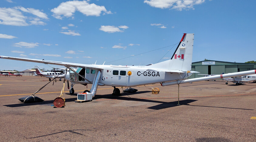
Valuable geophysical data about the structure and evolution of Earth’s crust in the Kimberley region and across northern Australia is being collected through the Kimberley Gravity Project. Data from the first survey area covering about 48,000 square kilometres, extending from Medusa Banks in the north to Halls Creek in the South, were released in February 2017.
The project, which began in October 2016, aimed to collect gravity data by conducting an airborne gravity survey to help characterise key geological elements of the region. The collaborative work is being undertaken by DMP’s Geological Survey of Western Australia (GSWA) and its partner Geoscience Australia (GA), a division of the Commonwealth Department of Industry, Innovation and Science.
The gravity survey was funded through Western Australia’s Exploration Incentive Scheme (EIS) and the data is available free of charge from both the DMP and GA websites.
The project is one of a range of GSWA’s multi-disciplinary, ground and airborne projects spread throughout Western Australia, including the Pilbara, Canning, Gascoyne, Mid-West, and Eastern Goldfields.
The surveys map the geology of the State for use in exploration for minerals, petroleum and groundwater, agricultural land assessments, and geo-hazards monitoring.