The geology of Western Australia spans 4.4 billion years of Earth's history — from the oldest dated zircon mineral grains at Jack Hills and ancient 3730 million-year-old Archean gneiss in the Narryer Terrane, to recent sediments forming right now on the Swan Coastal Plain around Perth.
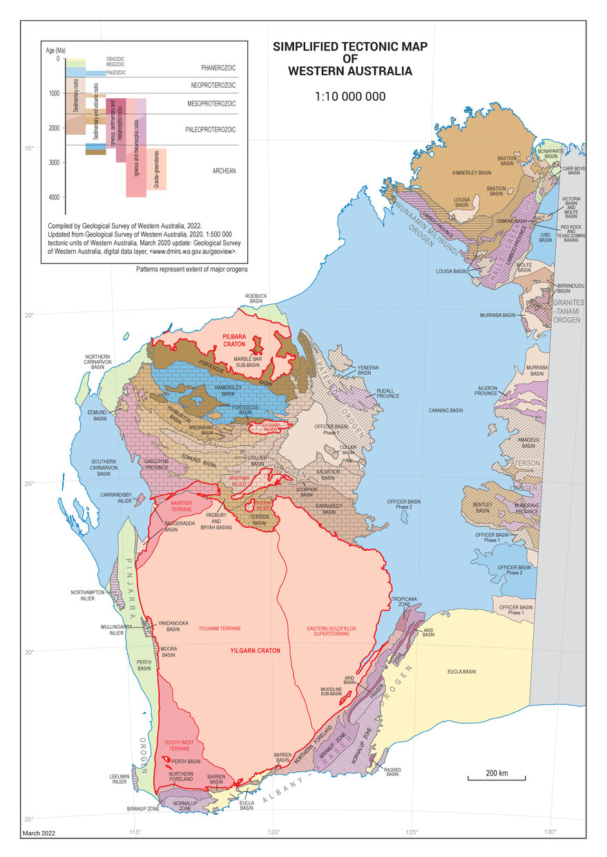
Western Australia’s geological framework consists of stable Archean cratonic nuclei that were progressively sutured during the Proterozoic into successively larger cratons and ultimately supercontinents. Western Australia started to separate from the remaining mass of Gondwana in the Late Jurassic (160 million years ago), with the western margin separating from India and Africa during the Early Cretaceous (130 million years ago). Australia rifted from Antarctica in the Cretaceous, 84 million years ago, and has now begun to collide with Asia.
A wealth of mineral deposits and petroleum resources formed during the 4.4 billion year geological history of Western Australia. World-class mineral deposits include gold, iron, nickel, heavy mineral sands, diamonds and bauxite. Petroleum abounds in the giant fields of the North West Shelf and smaller fields onshore.
Geological icons of Western Australia include:
- Earth’s oldest mineral grains at Jack Hills
- earliest evidence of life on Earth in 3.5 billion-year-old rocks in the Pilbara
- spinifex-textured komatiites in Archean granite–greenstones
- gold and nickel deposits in the Eastern Goldfields
- 2.5 billion-year-old banded iron-formations
- giant hematite iron ore deposits in the Hamersley Ranges
- Devonian barrier reef of the Kimberley
- unusual limestone formations at the Pinnacles Desert
- modern stromatolites at Shark Bay.
Read more about the geological evolution of Western Australia in the WA unearthed book series, or watch this narrated animation that summarizes its tectonic assembly and the timing of important mineral deposits. Additional information is also available on the geology of some of Western Australia’s iconic geological regions.
The Geological Survey of Western Australia (GSWA) has developed several applications to view and access geological and resource information about the geology of the State:
- GeoVIEW.WA is an online GIS-based mapping tool that allows users to view, query and map various geoscientific and resource information. The datasets are updated on a regular basis. Users can construct and print a customised geological map and incorporate other mineral and petroleum exploration datasets including mines and mineral deposits, petroleum wells, and active leases.
- GeoMap.WA is a standalone application that allows users to visualise, interrogate and integrate vector and raster data types and associated attribution. It is easy to use and does not require specialised skills or costly computer systems.
Contact
For more information contact:
chief.geoscientist@dmirs.wa.gov.au
geological.survey@dmirs.wa.gov.au