Geological Survey – the platform for WA’s resource industry
Western Australia’s successful resource industry is built on more than 100 years of information-gathering. The Geological Survey of WA (GSWA) gathers and publishes the results of mineral and petroleum exploration, and conducts its own studies to increase the understanding of the State’s geology and resources.
Few places around the world have as much detailed, comprehensive geological information. This database of information has given the State a unique advantage in the search for petroleum and minerals. In Western Australia, the result of this work is freely available.
The value of shared information
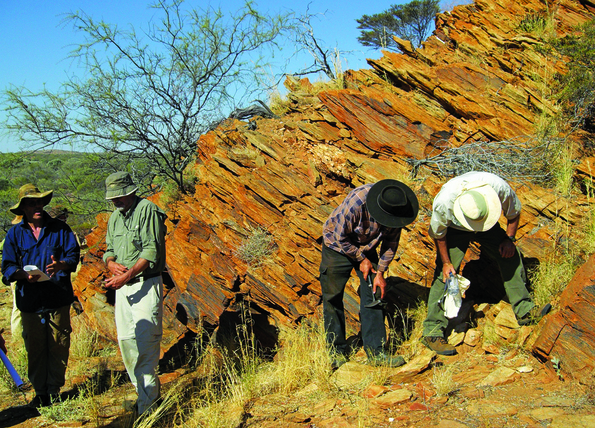
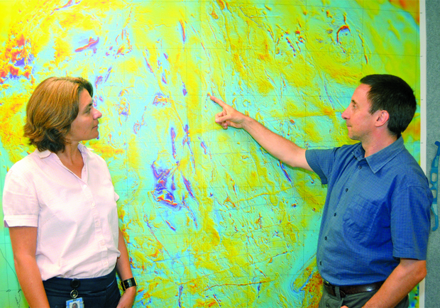
GSWA is part of the Department of Mines, Industry Regulation and Safety (DMIRS) and is staffed by highly qualified geologists supported by a huge store of data from surveys, sampling, seismic studies, drilling and evaluation. Exploration information, combined with information from GSWA’s own office and field studies, provides a detailed profile of the State’s geological structure.
Most onshore petroleum projects have used some of the GSWA maps and reports to identify potential exploration areas.
When a company or individual explores for petroleum, they make an agreement with the Government that secures their rights to any resources discovered within their exploration title. In return, they are required to share any geological information with the rest of the community, within five years of the exploration activity.
Owned by the community
The rights to all onshore petroleum are held by the State of Western Australia. As a result, the Government, on behalf of the community, has an interest in building a successful resource sector and sharing the knowledge which comes from effective exploration.
The benefits go well beyond the petroleum sector. As well as identifying resources like water supplies, building materials and road base, understanding the State’s geology also identifies areas that have minimal resource potential or vice versa, areas that should not be developed because of geological hazards, coastal vulnerability, and even accurate information for tourists visiting national parks. Understanding geology is one of the keys to understanding the environment.
Key facts
- The Geological Survey of Western Australia (GSWA) is a major contributor to the successful development of Western Australia’s resources.
- GSWA has been gathering and interpreting geoscience information in Western Australia for more than 100 years.
- Access to the information is free or at-cost to anyone.
-
All information from WA exploration programs becomes public knowledge after five years.
-
The information has a broad community benefit, teaching us more about our environment, our resources, and responsible development.
For more information check out other information sheets in this series by visiting Native Title and Land Access (NTALA) or Telephone (08) 9222 3333